
December 17, 2025
The self-serve diesel pump is literally a couple steps from us here at Palmetto Bay Marina (Hilton Head). We refueled last night in preparation for early departure and had a mobile pump out service (via boat). With the free laundry amenity here, we have washed our bathroom rugs, sheets, bed comforter, canvas covers for carpet and all our clothing. During final preparation, we see Dockmaster Tony who is wearing his flip-flops, and it is dang cold outside. He said they were his warmest flip flops – HA😂! Dockhand Rhett just went barefoot all the time. They’re both fun and do their jobs very well. We look forward to seeing them on our next visit. It is time to push away from the dock and make the 48 nautical mile (NM) run to Kilkenny Creek Marina.
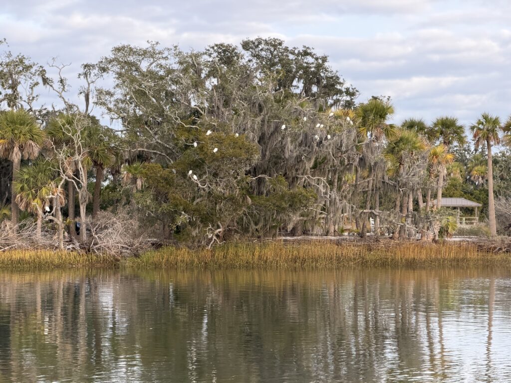
Captain made a smooth departure and headed for the ICW. As we passed Daufuskie Island (steeped in history), we saw trees draped with white objects. Turns out they were birds!
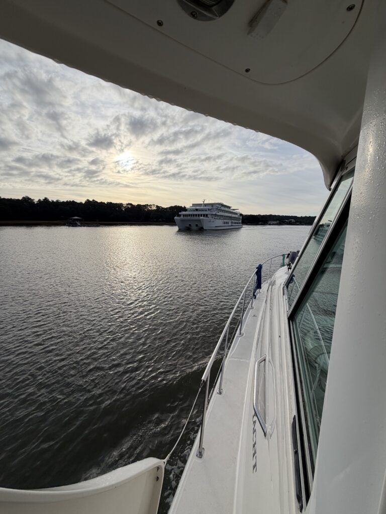
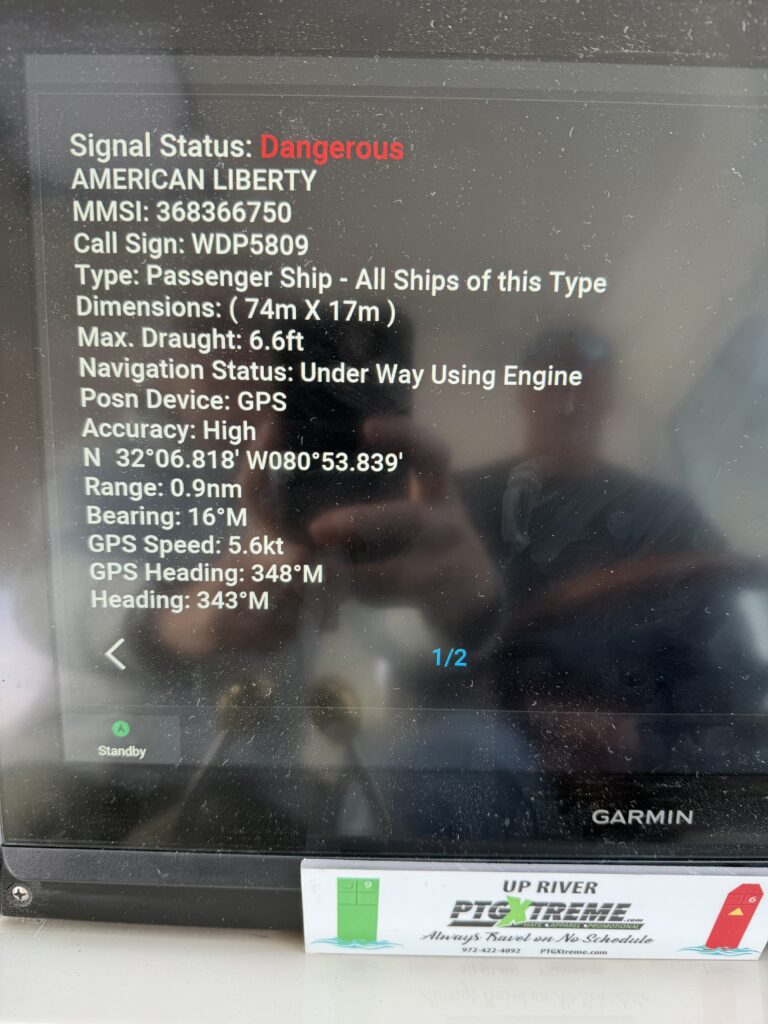
About 1.5 hours into our journey, we spot a small cruise ship. We can’t believe our eyes and reach for the binoculars for confirmation. Holy Cannoli! We are in a narrow waterway with very limited depth in which to maneuver. We check our Garmin chart plotter to identify the watercraft via AIS. Her name is American Liberty, and she is part of the American Cruise Lines. At 242 feet in length, she is tiny compared to major cruise liners, but she is intimidating to us. I hail the Captain on the American Liberty using our VHF radio, and we agree on how we will pass each other. We slow our speed and motor along. The captain stepped away from his helm to give us a friendly wave. It was just another day on the water for him. Nauti Nerds were sweating a bit. 😰
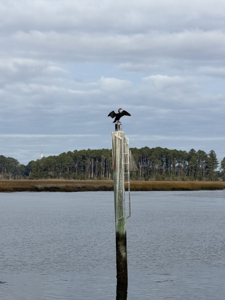
We saw yet another bird airing out its feathers on a channel marker. The entire time this bird was in sight, his wings were spread out.
Hell’s Gate was our next hurdle. We passed through here successfully in 2025 and have our previous track available on our Garmin plotter. Reliance on previous tracks is not necessarily safe since conditions can change over time due to storms, currents, and Corps of Engineers dredging operations. This section is truly one boat-width wide and very shallow. We check our plotter and do not see any vessels headed toward us. Binoculars confirmed there was no visible traffic. We made it through fine, whew – another successful passage completed.
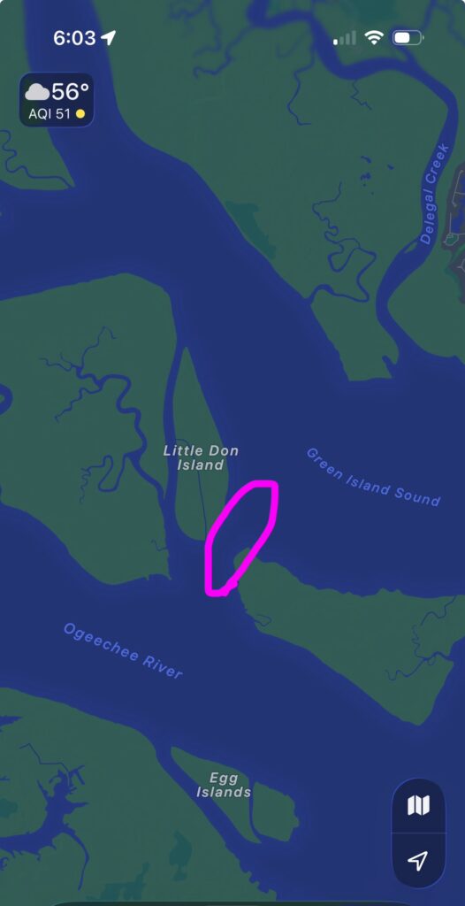
Shortly thereafter, we undoubtedly touched mud with our propellors. There is no mistake when this happens. The depth indicator on our plotter briefly displayed a huge decrease and we felt and heard a bump. Fellow Loopers have stated “if you haven’t touched bottom yet, you will, it’s just a matter of time”. We joined the club. Immediate response is to throttle back the engines and then determine what damage may have occurred. Typically, any propellor damage will result in vibration, reduction in mpg or worse (removal of propellor for repair). We confirmed there was no vibration at various RPMs. Luck was on our side and the contact made must have been made with soft mud rather than rock. Next time we have a diver clean the boat bottom, we will request photos of the propellor for verification.
After 6.5 hours enroute, we arrived at Kilkenny Creek Marina. This marina is in the middle of nowhere with very few amenities, but we love the tranquility there. And the honey corn cake at the restaurant nearby. Yummm!! We use our tranquility time here for more route planning. Plan is to arrive in St Augustine before heading home to have a Christmas celebration with Kelly on Dec 30 (delayed due to her work schedule). There is reduced stress since we have been in this territory previously. The chart plotter even displays our previous tracks so we know exactly the routes previously taken!
Comments are closed